Upland, CA to Williams, AZ
The Hiraeth Series
So far for this series, I have documented my drive to California, my time in the mountain town of Idyllwild, and my visit to my hometown of Orange. I have not posted about my return trip so far, because I have been having a hard time bringing all my thoughts together in a way that makes sense, even for Senseless Rambler. Here is my attempt.
On the way out west, I took interstate highways all the way. I was “on the clock” with places I needed to be at predetermined dates, but for my return I wasn’t under that same pressure. I decided to make my return home an adventure and to travel as much of Historic Route 66 as possible. It was both amazing, as well as disappointing and sad at times.
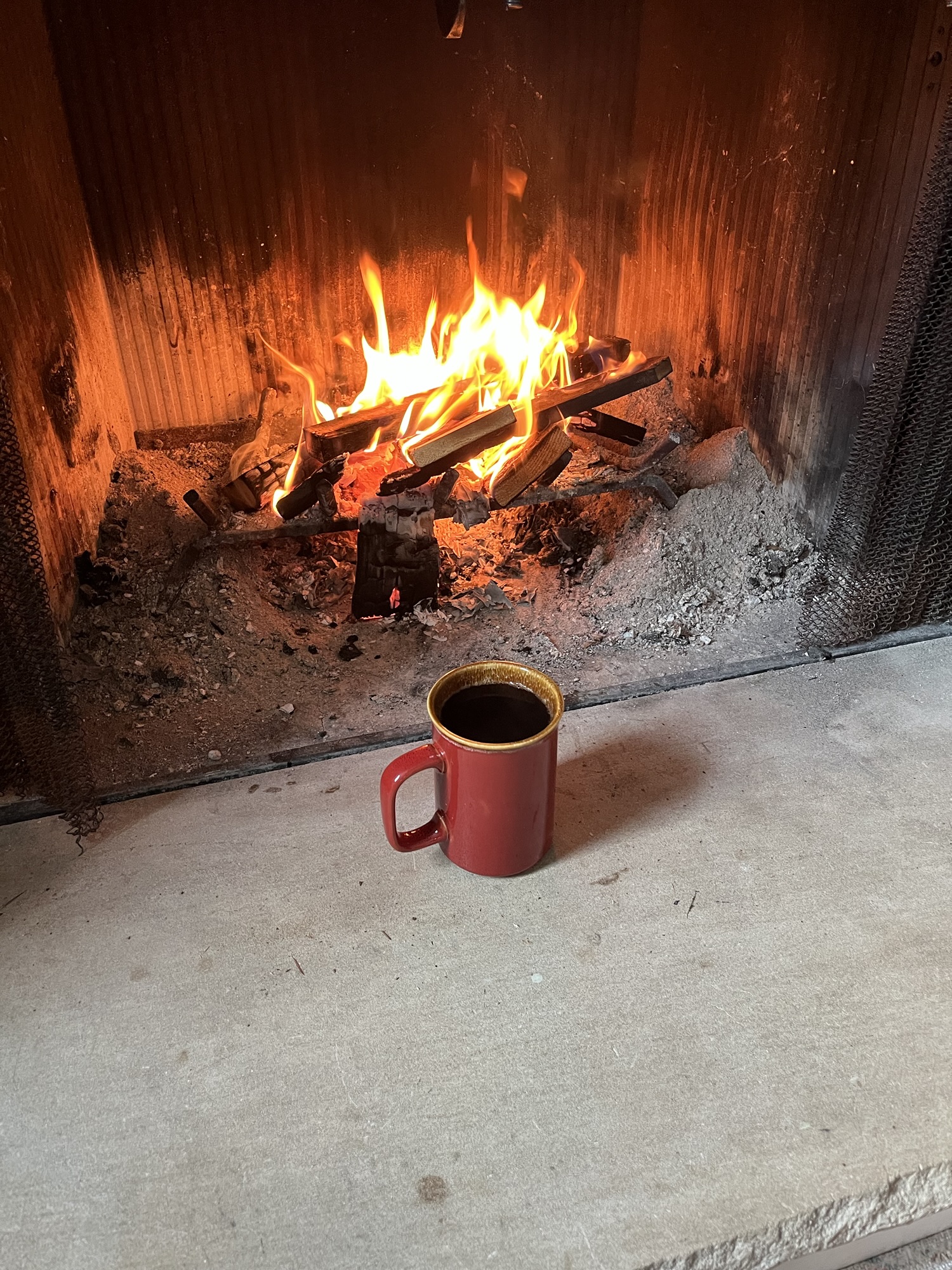
My first day started with me getting to my starting point on Route 66 by 7:00AM. While the western end of Route 66 is the Santa Monica Pier, I chose to start at the location that was closest to where I was staying, which is Upland, a nice city in the foothills of the San Bernardino Mountains. I topped off my gas tank, grabbed a hot, black coffee and headed eastward.
Upland through to San Bernardino is very urban now, but you still can see many of the old motels – some still going, other abandoned – along Route 66. The weather had been gray and cloudy during my previous four days in SoCal, and while it still was this morning, it lent such a mystical feel to the start of the trip as the mountains were shrouded in low hanging clouds.
As you head north out of San Bernardino, you begin to get the feel of what to expect as you begin to climb the Cajon (ca-hone) Pass and further into the high desert. At the same time, a sense of understanding what lies ahead, the vastness of the space to cross, begins to take root and it is an amazing and freeing feeling. The interstate highway is long gone and far away in ones mind. It is as if I have been transported back in time. The year 2025 has faded into the far reaches, like the highway in the rearview mirror. On this stretch of quiet, two-lane road it is the 1950’s or 1960’s again.
For a small stretch in the Cajon Pass I am diverted back to Interstate 15. Southbound traffic is heavy with people headed into San Bernardino and further onward toward Los Angeles. It reminds me of an assembly line, one car after another, being shoved down the highway to another days work. Already, in the short distance I have traveled, Route 66 created what felt like a wide-open world where you could spread your arms and fly.
I finally reach the top of the pass. The drizzle and fog that have been with me so far have gone. I am greeted by the brown desert mountains of southern California and a wide expanse of blue sky lightly stroked with wisps of white cloud. My imagination grinds and my lungs fill with air.
As I make the journey, my mind is scrolling through an old catalog of music that seems to fit the drive. I find myself singing The City of New Orleans, and This Land is Your Land, but for some reason as I look at the empty road before me and know its history, I think mostly of a Merle Haggard song, Union Station. Union Station (like The City of New Orleans), is actually about train travel, but there is an enduring refrain that rings true to this road. It goes, “the new ones will come, they won’t be the same. The old ones a shrine, but what’s a shame, is forsaking the old for the newer one, just think what the old Union Stations done.” It makes me think of how we build things only to tear them down and I can’t help but think of humans as termites.
As soon as I pass the city of Victorville and head northeast on the “mother road”, also called the National Trail Highway, the signs of what the loss of 66 as the main US thoroughfare start to show themselves. I pass through the remains of the town of Oro Grande. The town greets you with the tired, worn storefronts of businesses that are barely getting by, and those that have failed. Boarded up motels on the edge of town, where many families made memories while travelling make new memories no more.
The land here is wide open, the highway a fragile ribbon laying on ancient land. I am not even three hours into a multi-day trip and I feel as if I am being held in the arms and cradled to the bosom of America.


When I was still several miles out of the town of Amboy, CA, population 4, I could see the Amboy volcano in the distance. The remnants of this once active volcano carpet the desert floor around me. The ancient lava flows, not the last I’ll see on this trip, spread out across the desert floor in a craggy crust of rust reds and nearly black stone. It made my mind wander back in time to the early pioneers who must have stumbled upon this and wondered how to either get across, or around, this unwelcoming plain of stone. Likewise, what thought the original engineers of Route 66? Long discussions and planning must have taken place on how to blast through this solid ocean of rock and build a road.
Progressing ever eastward, when I was about 40 miles still west of Needles, CA I topped a hill on the highway and could see the blacktop stretch out ahead of me for as far as I could see. I wondered just how long that stretch was, so I made note of my odometer as I drove along. It ended up being just over 7 miles from where I started to measure until I reached the point I had seen from afar. Simply a vast space. This stretch of the highway before Needles reminds me of that first stretch of I-76 in Colorado I had witnessed just a week or so before; if I stood on the roof of my car and turned 360 degrees, other than the road itself, there is no other sign of human life.


After crossing into Arizona, I began to climb up one of the older stretches of the original Route 66. Many are not aware that Route 66 had its original course modified two times. The original road was platted and created in 1926. It was updated in the 1940’s, and then again in the early 1960’s. My destination is the old gold-mining town of Oatman. Oatman is named for Olive Oatman, the young survivor of an Indian raid and massacre of her family in the early 1850’s. It is a fascinating story that you can read more about here. I don’t know how the town came to be named after Olive or her family.
Oatman is a small town. It only has 102 residents and its entire claim to fame is wrapped up in three things: it was an old west mining town, it is on the original Route 66, and wild burros, descendants of the original burros used by the miners, walk the streets of town. They are everywhere, and I think they may have been the highlight of my whole trip. I love animals and this was an amazing display of animals living in harmony with the local community.
I was still maybe a half mile from Oatman when the first “burro welcome committee” met me. There were three of them standing in the middle of the road. I had to come to a stop as they had the road effectively blocked. I rolled down my window to take a photo and one of the burros walked right up to make an introduction. He stuck his head in the open window, I rubbed his muzzle, and he let me go on my way.
Once in town, the burros are everywhere. Despite being wild, they are very tame, and with good reason: people = food! Some of the shops in town sell burro food. They do ask that you don’t feed them human food. Some of the baby burros has little signs literally taped to their foreheads saying “Please Do Not Feed Me.” Not sure why they were cut off, but I wonder if maybe they were still nursing and shouldn’t have the other food yet. Now I have to tell you, the highlight of Oatman was when I walked into a souvenir store to look around. While I was by the front door, a burro walked in, grabbed an item off the counter and walked back out. The proprietress of the store then chased that burro yelling, “Misty, you come back here. That is mine.” Unscripted comic relief. I still smile at the memory.
It was starting to get near dusk as I was leaving Oatman and I knew I needed to get where I planned to stay for the night so I headed out the other side of town on the highway (carefully, so as not to bump a burro).


I drove past the still active Gold Road Mining Co., operating since 1902. I also stopped at an overlook to take in the canyons around me. It truly is a naturally beautiful area.
I carefully wound my way down the twisting mountain road and drove for about another hour before I reached my stop for the night – Williams, AZ. Festively decorated for Christmas, I would have liked to explore a little more, but it had been a long day and I was tired.
Tomorrow, more miles and more adventure await.
Keep rambling…